Aerial LiDAR technology has revolutionized the way engineers approach surveying and mapping. By utilizing laser scanning from the air, we can capture high-resolution data over large areas quickly and efficiently. This technology not only saves time but also enhances the accuracy of the data collected, allowing for better decision-making in project planning. As the demand for precision in engineering continues to grow, Aerial LiDAR is becoming an indispensable tool in our arsenal.
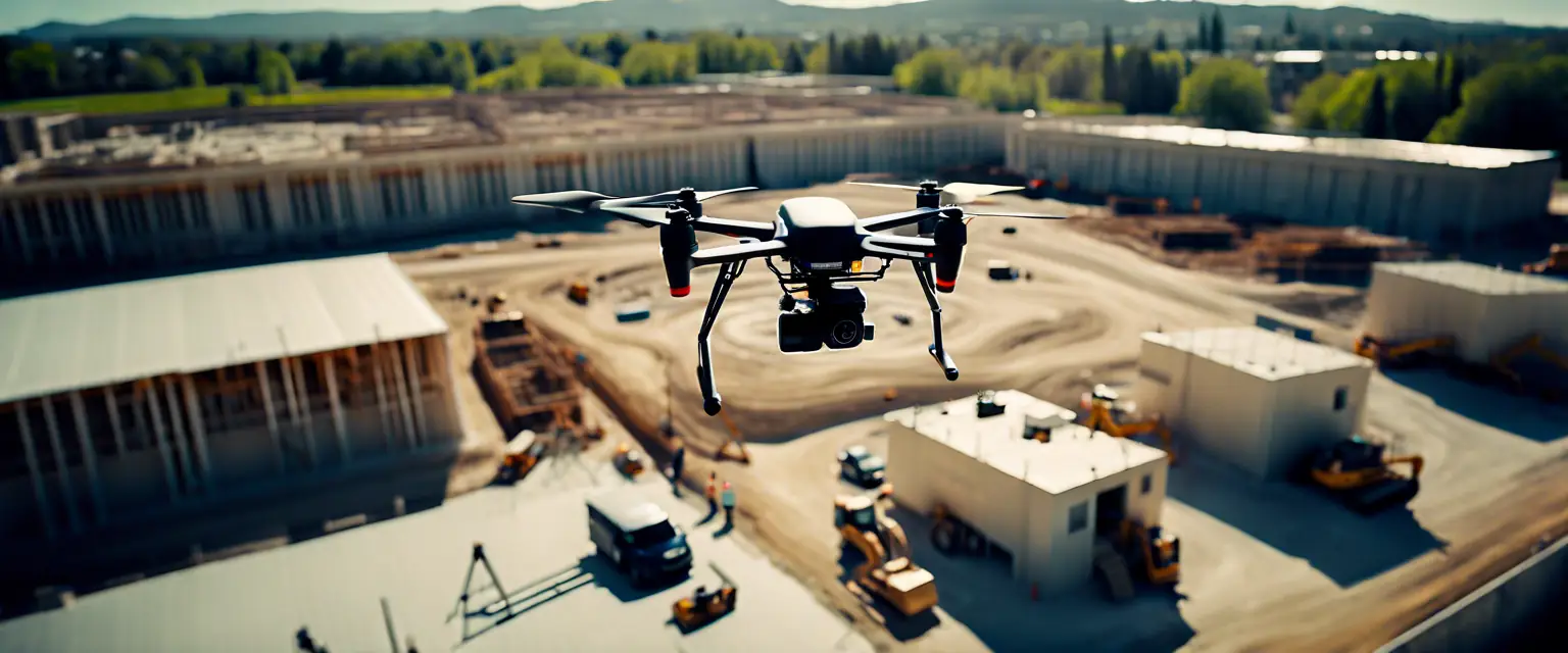
In recent years, advancements in drone technology have further propelled the use of Aerial LiDAR. Drones equipped with LiDAR sensors can access hard-to-reach areas, providing data that was previously difficult or impossible to obtain. This capability opens up new possibilities for projects in challenging terrains, such as mountainous regions or dense urban environments. The integration of Aerial LiDAR with Geographic Information Systems (GIS) also allows for comprehensive analysis and visualization of the data collected.
As we look to the future, the potential applications of Aerial LiDAR in engineering are vast. From infrastructure development to environmental monitoring, the technology is set to play a crucial role in shaping the projects of tomorrow. At 3D Capture, we are committed to staying at the forefront of these advancements, ensuring that our clients benefit from the latest innovations in engineering consulting.