
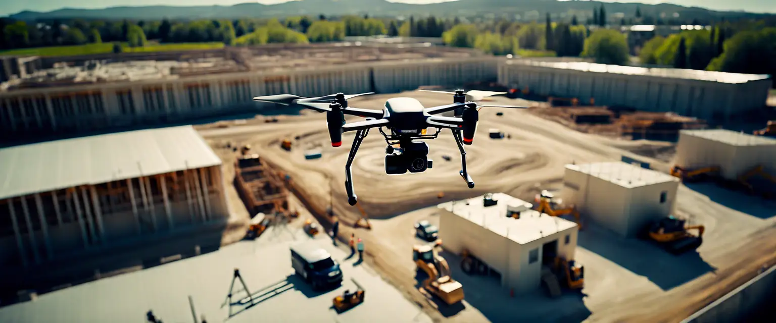
Aerial LiDAR
Utilize advanced LiDAR technology to capture precise topographical data from the air, ideal for large-scale mapping projects.

Hydrographic Surveying
Conduct detailed underwater surveys using state-of-the-art sonar technology, perfect for marine and coastal projects.

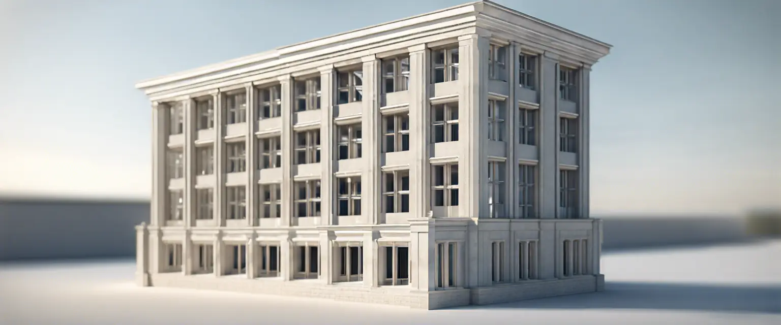
Building Information Modeling (BIM)
Create accurate 3D models of buildings and infrastructure, enhancing project planning and execution.

3D Capture transformed our project with their precise Aerial LiDAR services. Highly recommended!

The Hydrographic Surveying provided by 3D Capture was thorough and accurate, exceeding our expectations.

Their BIM services streamlined our workflow and improved collaboration across teams. Fantastic experience!

3D Capture's attention to detail in surveying made a significant difference in our project outcomes.

The team at 3D Capture is professional and knowledgeable. Their insights were invaluable to our project.

I was impressed by the quality of data provided by 3D Capture. It was crucial for our environmental assessments.


The Importance of Accurate Surveying in Engineering
Understand why accurate surveying is crucial for the success of engineering projects.
Building Information Modeling: A Game Changer for Construction
Discover how BIM is transforming the construction industry and improving project outcomes.

Hydrographic Surveying: Essential for Coastal Projects
Learn why hydrographic surveying is critical for successful coastal engineering projects.
The Future of Aerial LiDAR in Engineering
Explore how Aerial LiDAR technology is transforming the engineering landscape.