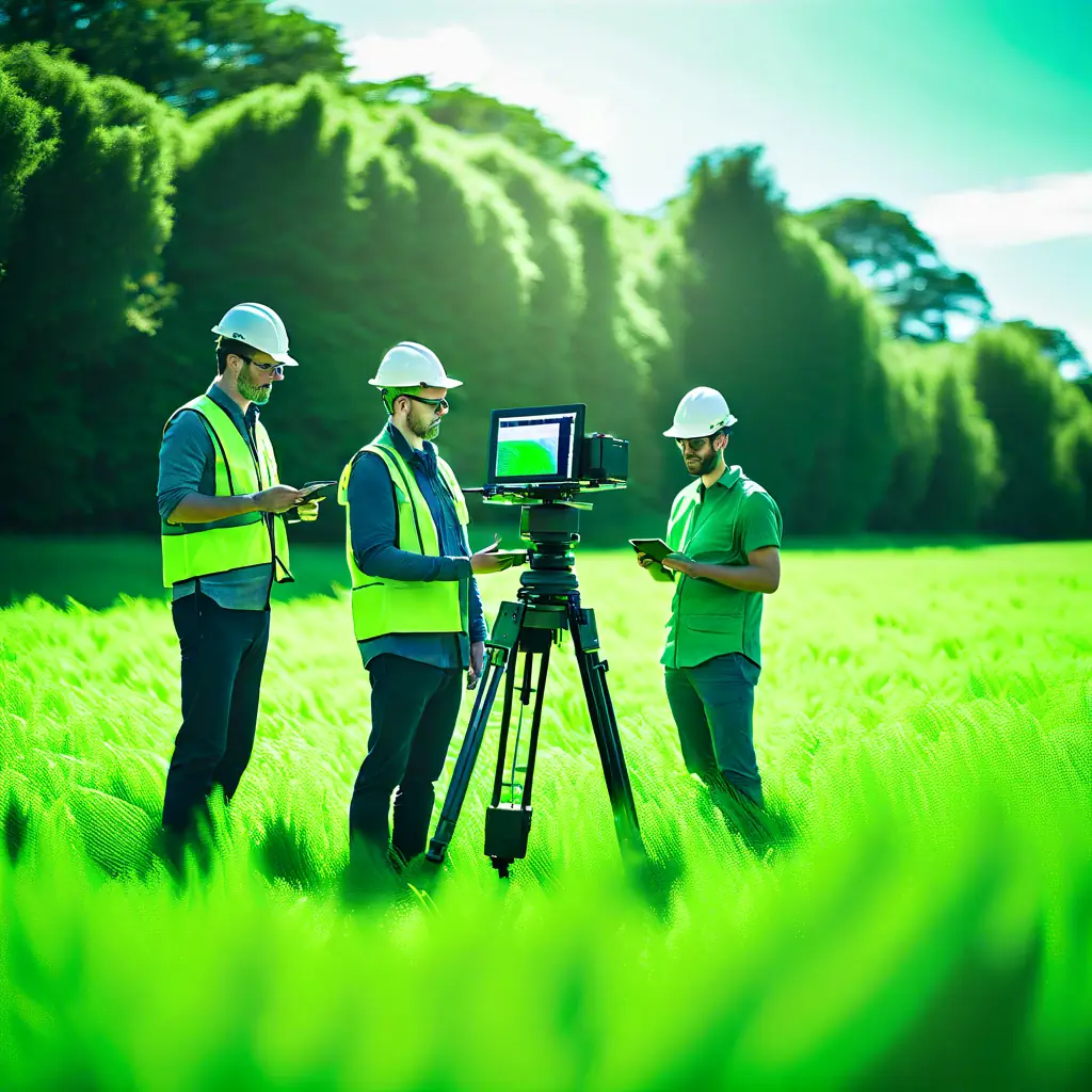
Aerial LiDAR
Utilize advanced LiDAR technology to capture high-resolution topographical data from the air.
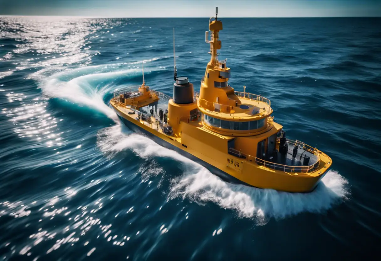
Hydrographic Surveying
Conduct detailed underwater surveys to map and analyze aquatic environments accurately.
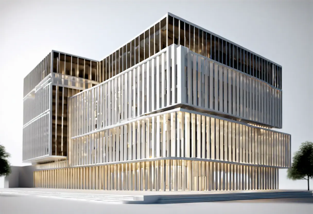
Building Information Modeling (BIM)
Create detailed 3D models of buildings to enhance planning, design, and construction processes.