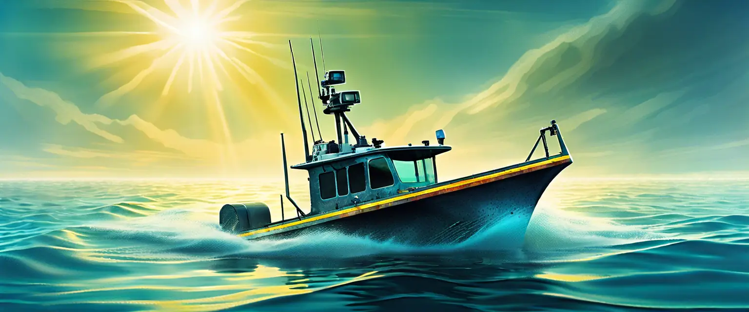
Hydrographic surveying is a vital component of coastal engineering, providing essential data for the design and construction of marine structures. This type of surveying involves measuring and mapping the underwater features of bodies of water, which is crucial for understanding the environment and planning projects effectively. Accurate hydrographic data helps engineers assess risks, design safe structures, and comply with regulatory requirements. Without this information, projects can face significant delays and increased costs due to unforeseen challenges.
The process of hydrographic surveying involves various techniques, including sonar mapping and water sampling. These methods allow us to gather detailed information about the seafloor, water depth, and currents, which are all critical factors in coastal engineering. By utilizing advanced technology, such as multi-beam sonar systems, we can create precise 3D models of underwater environments. This data not only aids in project planning but also supports environmental assessments and conservation efforts.
At 3D Capture, we understand the importance of hydrographic surveying in ensuring the success of coastal projects. Our team of experts is equipped with the latest tools and knowledge to deliver high-quality hydrographic surveys that meet the unique needs of each project. We are dedicated to providing our clients with the insights they need to make informed decisions and achieve their project goals.


